Experience the Seychelles
Anonymous
As soon as we leave the harbor, the atmosphere changes. The island belongs to the group of inner islands and, as an ilot, is an integral part of the geographical structure of the Seychelles.
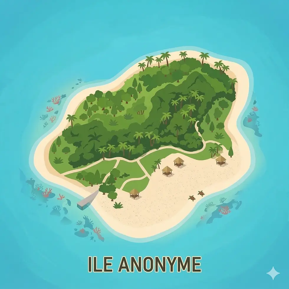
Auf einen Blick
Inselgruppe: Inner Islands
Inseltyp: Ilot
Fläche: 0,7 km²
Entfernung zu Mahé: 1 km
Anreise: boat
Bewohnt: ja
Geologie: granite
Besonderheiten: Granite mountains, short hiking trails, bays with rocks
📍 Anonymous in Google Maps öffnen ↗
This island point lies low above sea level and consists of sand, coral rubble, and flat limestone outcrops. The land area is small and permanently uninhabited. Infrastructure is completely lacking. Natural processes shape its form and stability.
The classification is determined by its location within the atoll structure. This point helps to clearly distinguish lagoon areas, reef zones, and transitions to the open sea. This position is crucial for charts and nautical navigation.
The surrounding shallow waters are ecologically important. Corals, fish, and invertebrates find suitable habitats here. Dry areas are used by seabirds at certain times. There is no human intervention.
For travelers, there is no practical significance. Landings are not planned, and no services are offered. However, the point is still useful in an island guide, as it illustrates how many named places in the Seychelles primarily serve orientation, nature conservation, and complete geographical documentation.