Experience the Seychelles
Depose
Many entries in maps and datasets represent very small island points that do not fulfill any function of their own, but contribute to the spatial completeness of the archipelago.
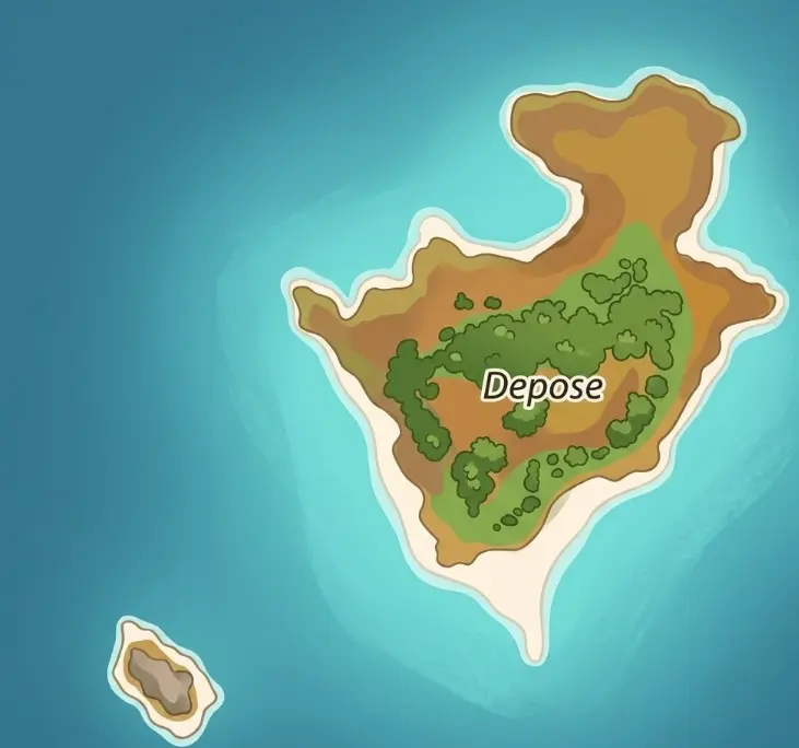
Auf einen Blick
Inselgruppe: Farquhar Group, Farquhar Atoll
Inseltyp: Ilot
Fläche: 0,01 km²
Entfernung zu Mahé: 770 km
Anreise: Private
Bewohnt: nein
Geologie: granite
Besonderheiten: Remote island with abundant nature and little infrastructure
📍 Depose in Google Maps öffnen ↗
Many entries in maps and datasets represent very small island points that serve no independent function but contribute to the spatial completeness of the archipelago. They explain why the Seychelles archipelago consists of far more than just a few well-known main islands.
Classification
It is a very small, isolated point on the island with no permanent settlement. The area is small. There is no use or infrastructure. The place plays no role in transportation, supplies, or tourism.
The location is part of a regional island environment with other small, uninhabited islands and rocks. These points primarily serve for orientation on maps and support the geographical division of the respective island zone.
There is no tourist use. There are no accommodations, facilities, or designated landing sites. The area is uninhabited. Depending on the exact location, protective regulations may apply.
- Small island point
- Uninhabited
- No tourist use
- Relevance for island index and map overview
This location has no practical significance for travel planning. However, it complements the structural representation of the archipelago and contributes to a complete understanding of the island distribution.